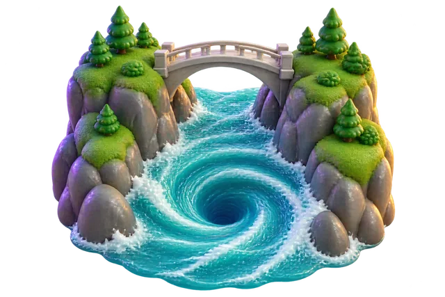
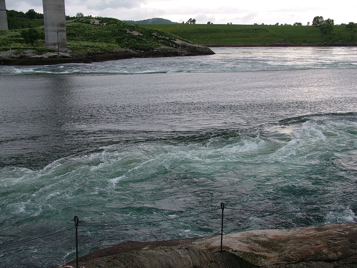
Saltstraumen is a narrow strait in northern Norway that features one of the strongest tidal currents on Earth. Every six hours, massive volumes of seawater rush through the channel to equalize water levels between a fjord and the open sea. This rush creates whirlpools up to 10 meters wide and churns up nutrients that sustain a rich marine ecosystem.
By the edgi team We find the most surprising true thing about an idea and build a 60-second lesson around it.
Saltstraumen is a small strait in Norway connecting the outer Saltfjorden to the larger Skjerstad Fjord. Four times a day, the tide forces immense volumes of water through a channel only 150 meters wide.
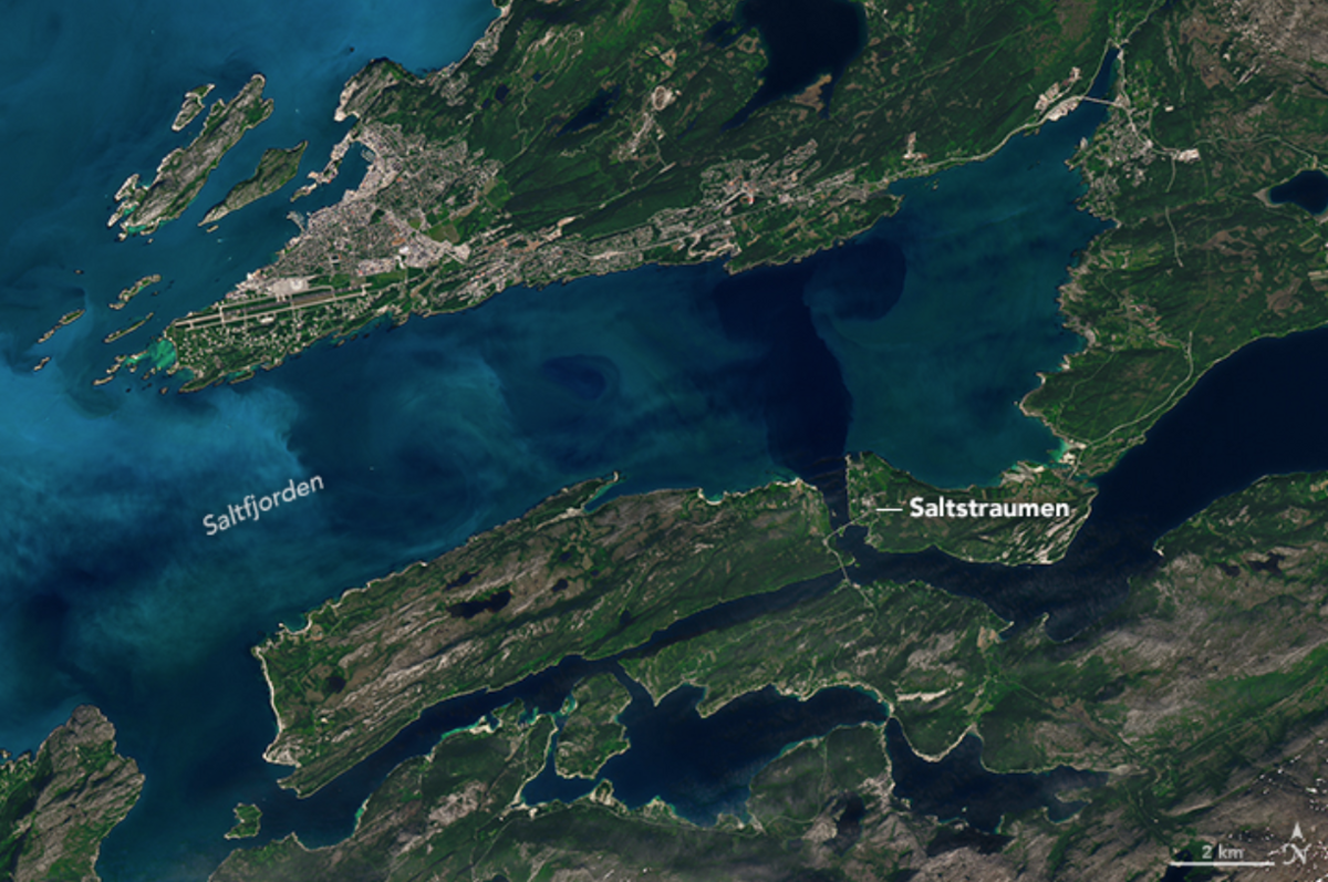
A NASA satellite image displays the Saltstraumen current in Norway, characterized by churning waters and visible phytoplankton blooms. NASA Earth Observatory, CC BY-SA 4.0, via Wikimedia Commons
The water rushes through at speeds reaching 40 kilometers per hour, creating massive whirlpools known as maelstroms.
The liquid clock
The tide builds a one-meter drop between the water levels inside and outside the fjord, and that drop drives the violent currents. For centuries, local fishermen in Bodø Municipality have relied on the brief moments of slack water when the current pauses.
If they miss this tiny window, they are at the mercy of the churning cauldron.
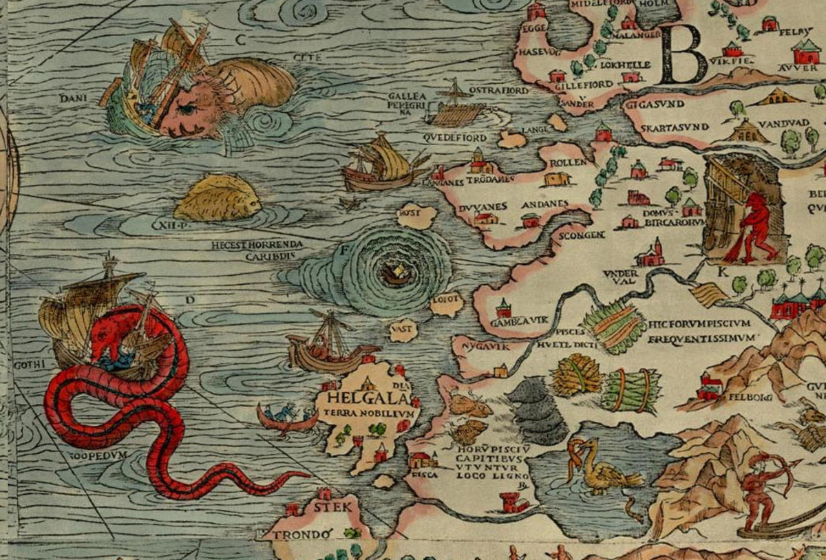
A historical map illustration from Olaus Magnus's Carta Marina (1539) depicting a maelstrom off the coast of Norway, with ships being pulled into a large spiral whirlpool. No machine-readable author provided. Grillo assumed (based on copyright claims)., CC BY-SA 3.0, via Wikimedia Commons
Feast from the deep
The violent turbulence forces deep, nutrient-rich water up from the seabed. This sudden upwelling turns the strait into a remarkably rich fishing ground, drawing massive fish to the surface.
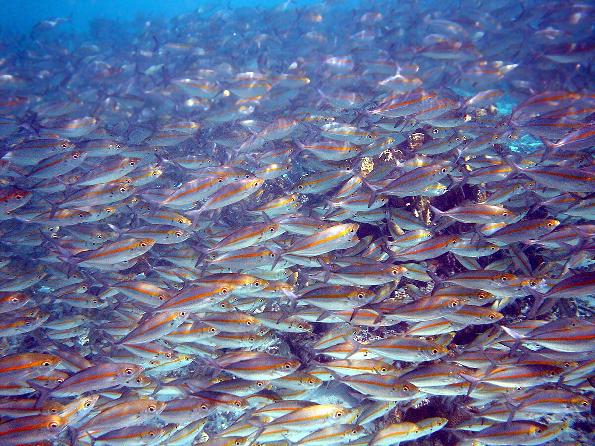
A large school of goldband fusiliers (Pterocaesio chrysozona) swims in clear blue water in Papua New Guinea. Brocken Inaglory, CC BY-SA 3.0, via Wikimedia Commons
It is a rare place where the raw power of oceanography can be heard roaring from miles away.
How the tidal current works
Up to 400 million cubic meters of seawater force their way through a channel 150 meters wide and 3 kilometers long every six hours. The current forms because the tide attempts to fill the inland Skjerstad Fjord from the outer Saltfjorden. A height difference of up to one meter develops between sea level outside and the fjord inside, driving the water forward.
Swirling maelstroms churn beneath the bridge as water rushes through the narrow channel. Clemensfranz, CC BY-SA 3.0, via Wikimedia Commons
When the flow peaks, water speeds reach up to 40 kilometers per hour. This violent movement opens whirlpools, or maelstroms, measuring up to 10 meters across and 5 meters deep. The current shifts based on high tide in nearby Bodø: the peak southbound inflow occurs roughly an hour and fifteen minutes before Bodø high tide, while the strongest northbound outflow hits about four and a half hours after.
Marine life and human history
The intense turbulence drives nutrient-rich water up from the seabed, making the strait a haven for marine species. Anglers fish here for cod, wolffish, halibut, rose fish, and saithe. Coalfish thrive in the current; the largest documented coalfish caught on a rod weighed 22.7 kilograms. Eiders are the only birds able to dive through the strong stream to harvest mussels.
People have relied on these rich waters for millennia. The remains of a 10,000-year-old settlement nearby represent the oldest traces of human presence in Bodø and one of the oldest archaeological finds in Norway. The strait itself took its modern form around two to three thousand years ago following post-glacial rebound, which reshaped the coastline after the ice age.
Test yourself
When is the safest time to cross Saltstraumen by boat?
At slack water. The strait is calmest at slack water, when the tide turns and the flow almost stops. Peak flow is when the current is fastest and the whirlpools are strongest.
A narrow channel links a bay to the open sea. How would you plan a small-boat crossing?
Check tide tables and cross at slack. Water speeds up as the tide forces it through a narrow gap, and it slows as the tide turns. Timing the crossing for slack water avoids the strongest flow.
What makes the Saltstraumen current reverse direction?
The tide rising and falling outside. The sea level outside the fjord rises and falls with the tide. Water flows in as it rises and out as it falls, so the current reverses with each change.
Play the lesson in edgi and the card is yours. It lands on your Map next to the ideas it connects to, and turns from matte to foil to gold as you learn more around it.
Saltstraumen is located in Bodø Municipality in Nordland county, Norway, about 10 kilometers southeast of the town of Bodø. It runs between the islands of Straumøya and Knaplundsøya beneath the Saltstraumen Bridge.
Can boats navigate through Saltstraumen?
Boats can only pass through safely during slack water, the brief period when the tidal current turns and pauses. Attempting to travel through at peak flow puts vessels at the mercy of strong maelstroms.
What does the name Saltstraumen mean?
The name combines the region name Salten with the word straum, meaning stream or water flow. Some sources trace the first element to an older word, salpt, which means strong stream.