The Global Positioning System (GPS) is a network of satellites that broadcasts precise time and location radio signals down to Earth. Receivers on the ground, such as smartphones, simply listen to these one-way signals and calculate their distance from multiple satellites to determine their exact position. The system does not track users or require internet service, and it powers everything from map directions to banking timestamp synchronization.
By the edgi team We find the most surprising true thing about an idea and build a 60-second lesson around it.
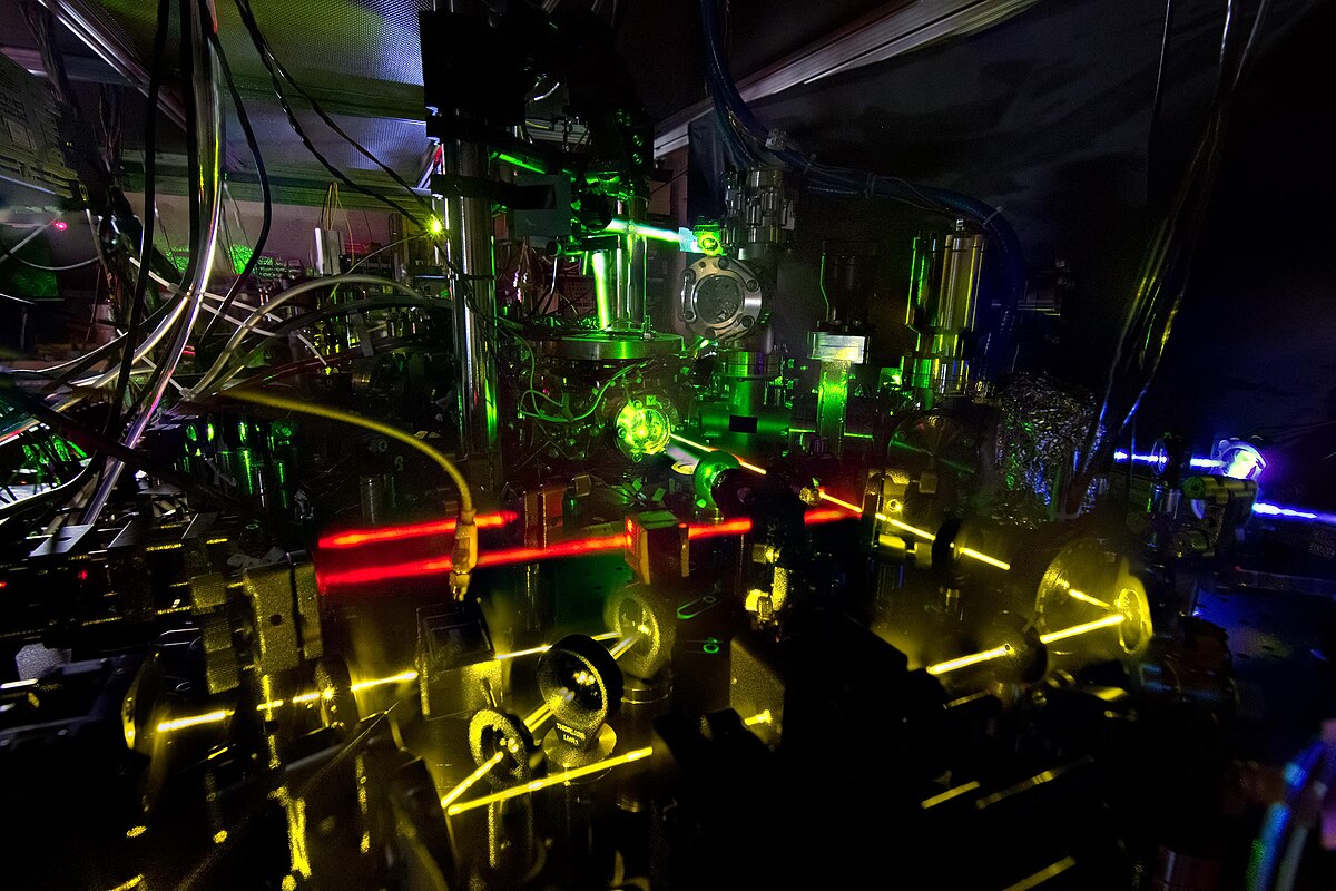
GPS satellites aren't tracking you; they are just broadcasting their precise location and the exact time. They carry atomic clocks, which are so accurate they lose only one second every few million years.
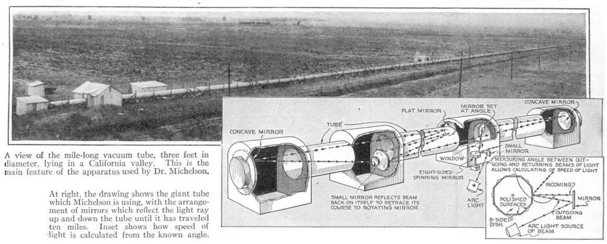
Your phone listens for these signals. Because they travel at the speed of light, your phone calculates exactly how long each signal took to arrive.
The math of intersection
If you know your distance from one satellite, you are somewhere on a sphere around it. With two satellites, you are on the circle where those spheres intersect. With four, the math narrows your position down to a single point on Earth.
This process is known as trilateration.
The unsung hero
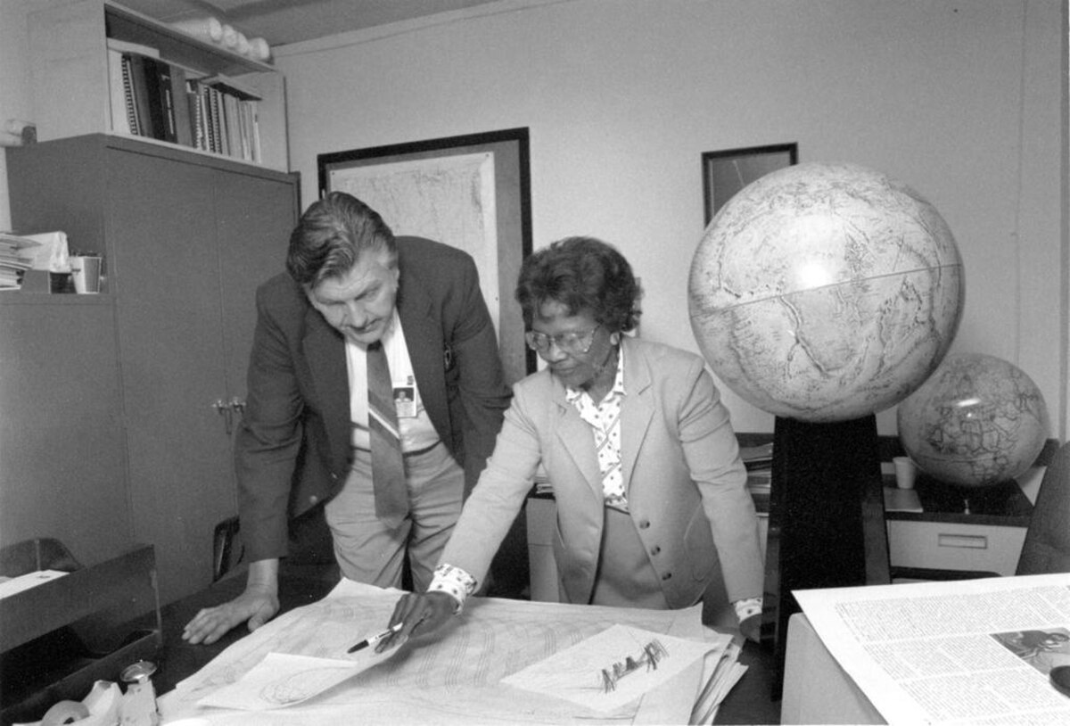
The Earth isn't a perfect sphere; it is a bumpy, bulging mess of uneven gravity that throws off timing signals. In the 1950s, mathematician Gladys West began the grueling work of mapping these irregularities, a field known as geodesy.
Gladys West and Sam Smith looking over data from the Global Positioning System at Dahlgren in 1985. U.S. Navy, Public domain, via Wikimedia Commons
Her precise models of Earth's shape allow GPS to account for gravity's pull, keeping your blue dot accurate to within a few meters.
The invisible backbone
GPS does more than show you the way to a coffee shop. The global banking system uses these satellite signals to timestamp every transaction, keeping the world's economy in perfect sync.
It is a Cold War military project that became the invisible heartbeat of modern civilization.
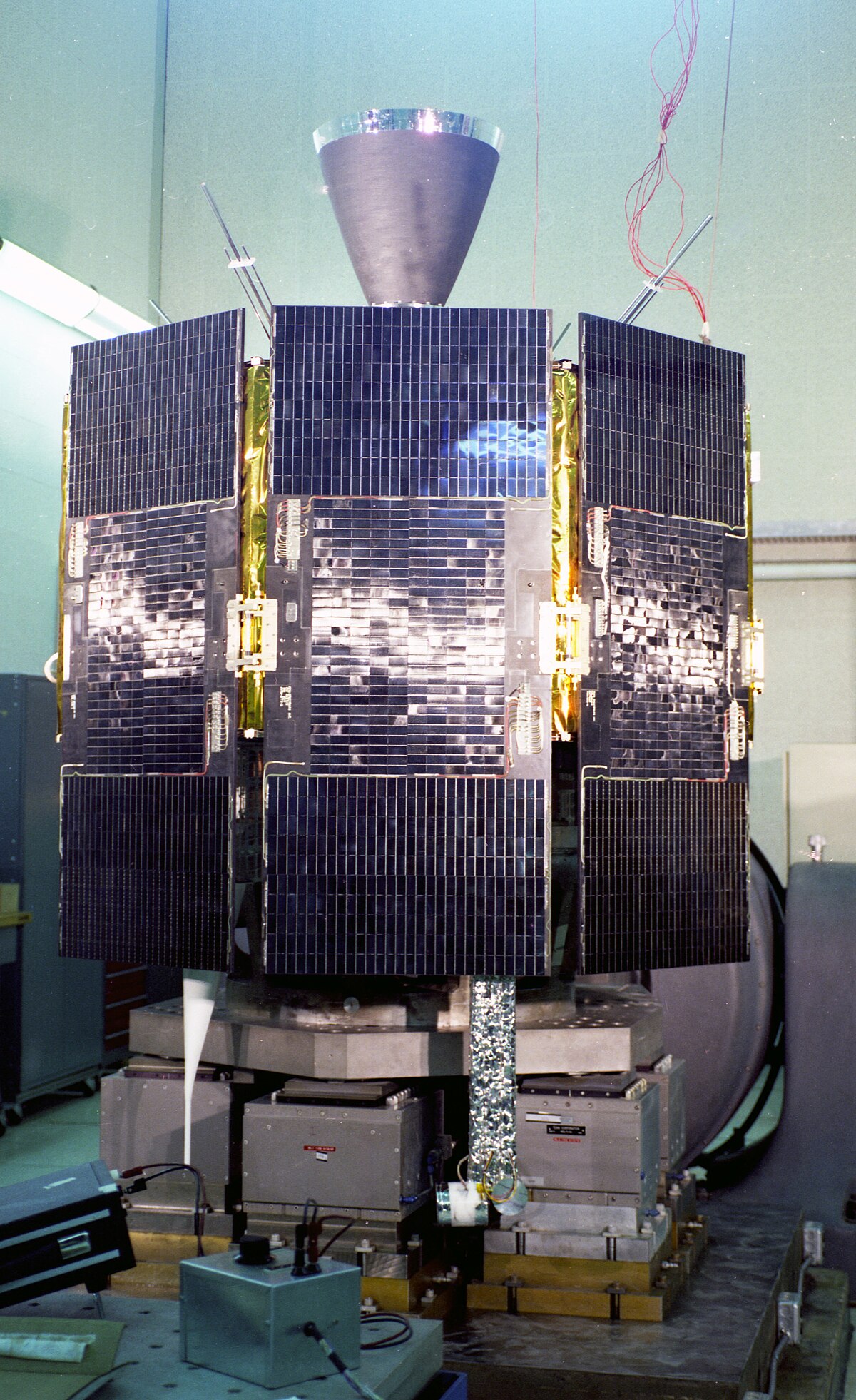
The Navigation Technology Satellite, II (NTS-II), also known as Timation IV, is shown in a laboratory setting. U.S. Navy, Public domain, via Wikimedia Commons
How does GPS determine position?
GPS satellites run on atomic clocks that drift by roughly 38 microseconds faster per day than clocks on Earth due to relativity effects, a difference the system must correct. Each satellite constantly broadcasts its coordinates and the exact time it sent the transmission. Because radio signals travel at the speed of light, a receiver measures the time delay of each broadcast to calculate its distance from that satellite.
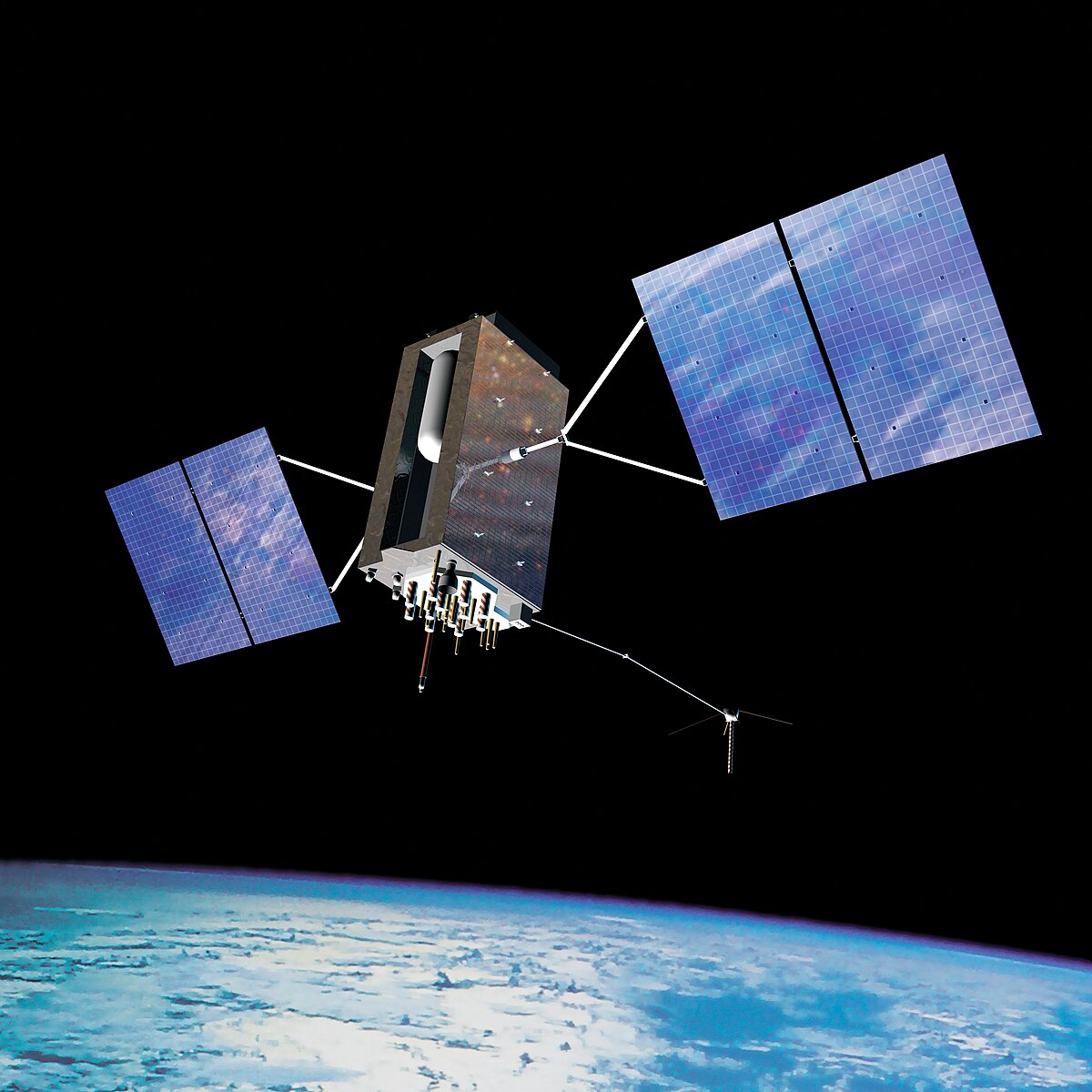
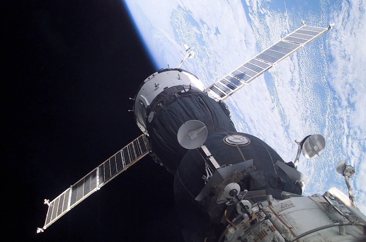
A GPS Block IIIA satellite in orbit, showing the solar panels and body that broadcast timing signals down to Earth. U.S. Air Force, Public domain, via Wikimedia Commons
Knowing the distance to one satellite places the receiver somewhere on a theoretical sphere surrounding it. Intersecting spheres from four satellites narrow the receiver's location to a single point on Earth through trilateration. Accurate positioning also relies on geodetic Earth models developed by mathematician Gladys West, which account for gravitational variations across Earth's uneven shape.
Who controls GPS and how accurate is it?
GPS was started by the U.S. Department of Defense in 1973 and is owned by the United States Space Force, operated by Mission Delta 31. President Ronald Reagan made the system available for civilian use starting in 1988 following the shootdown of Korean Air Lines Flight 007. Early civilian signals were intentionally degraded to an accuracy of 100 meters using a feature called Selective Availability, which was disabled on May 1, 2000.
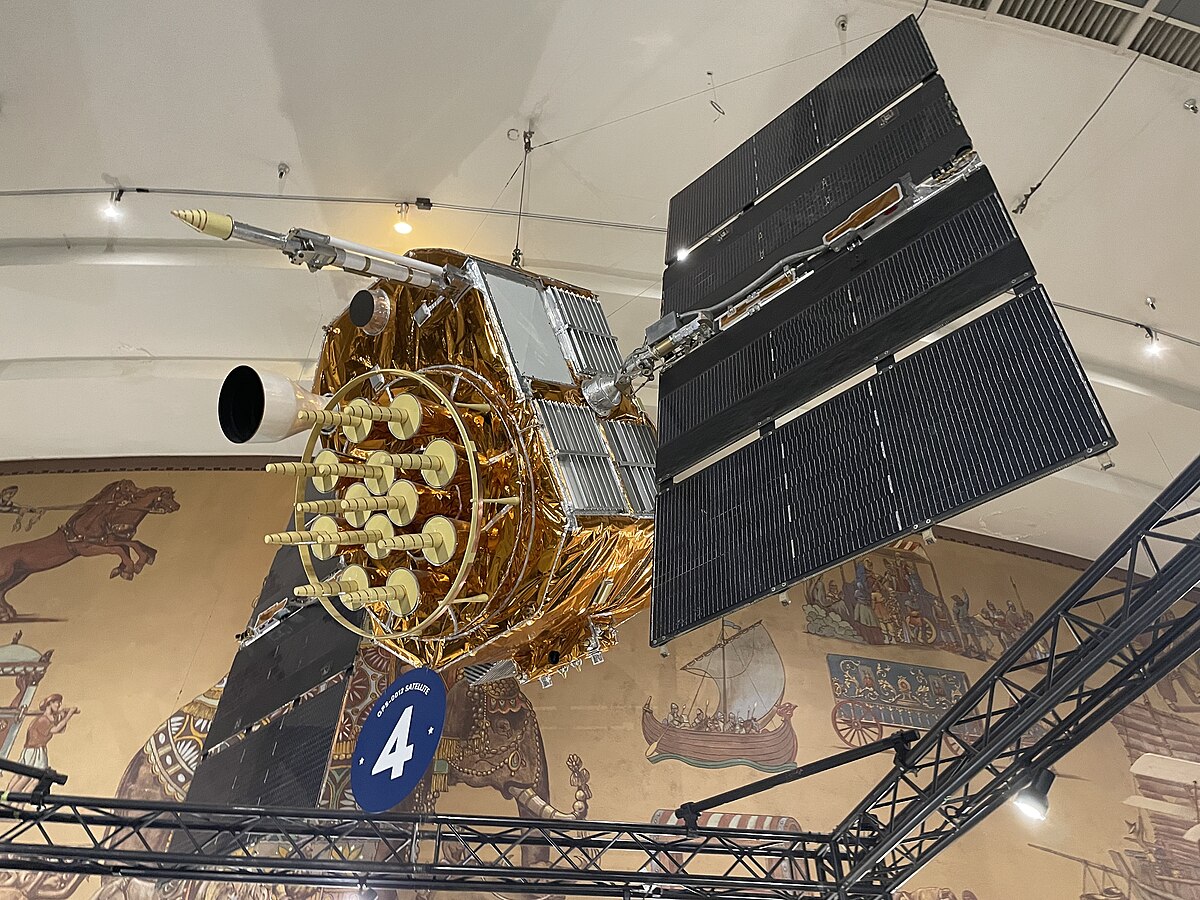
A GPS Block II qualification vehicle on display, showing the hardware used to establish the operational satellite constellation. Blervis, CC0, via Wikimedia Commons
Modern consumer smartphones achieve an accuracy of 4.9 meters or better with assistive services. Receivers using modern L5 signals can reach an accuracy of 30 centimeters, while high-end engineering and land surveying equipment can achieve accuracy within 2 centimeters or even sub-millimeter precision over long-term measurements.
Test yourself
Why does GPS use models of Earth’s shape and gravity?
To correct timing-based position calculations. Earth’s uneven shape and gravity affect signal timing, so accurate models help GPS calculate positions correctly.
How does a GPS phone estimate its position from satellite signals?
It uses signal travel times from satellites. Satellites broadcast their locations and times; the phone uses how long their signals took to arrive to calculate distances and find its position.
Why does GPS use models of Earth’s shape and gravity?
To correct timing-based position calculations. Earth’s uneven shape and gravity affect signal timing, so accurate models help GPS calculate positions correctly.
Play the lesson in edgi and the card is yours. It lands on your Map next to the ideas it connects to, and turns from matte to foil to gold as you learn more around it.
Does GPS require an internet connection or cellular signal?
No, GPS operates entirely independently of telephone networks or internet reception. Receivers only need an unobstructed view of satellite radio signals, though assistive tools like Wi-Fi can help refine positioning speed and accuracy.
Who invented GPS?
Roger L. Easton of the Naval Research Laboratory, Ivan A. Getting of The Aerospace Corporation, and Bradford Parkinson of the Applied Physics Laboratory are credited with inventing it. Mathematician Gladys West created the computational geodetic Earth model necessary to pinpoint satellite positions accurately.
What early satellite systems led to GPS?
After tracking Sputnik 1 via Doppler shift in 1957, researchers developed the Navy's TRANSIT system in the 1960s to pinpoint submarine positions. The Navy also launched the Timation satellite program in 1967, which proved that accurate atomic clocks could operate successfully in orbit.